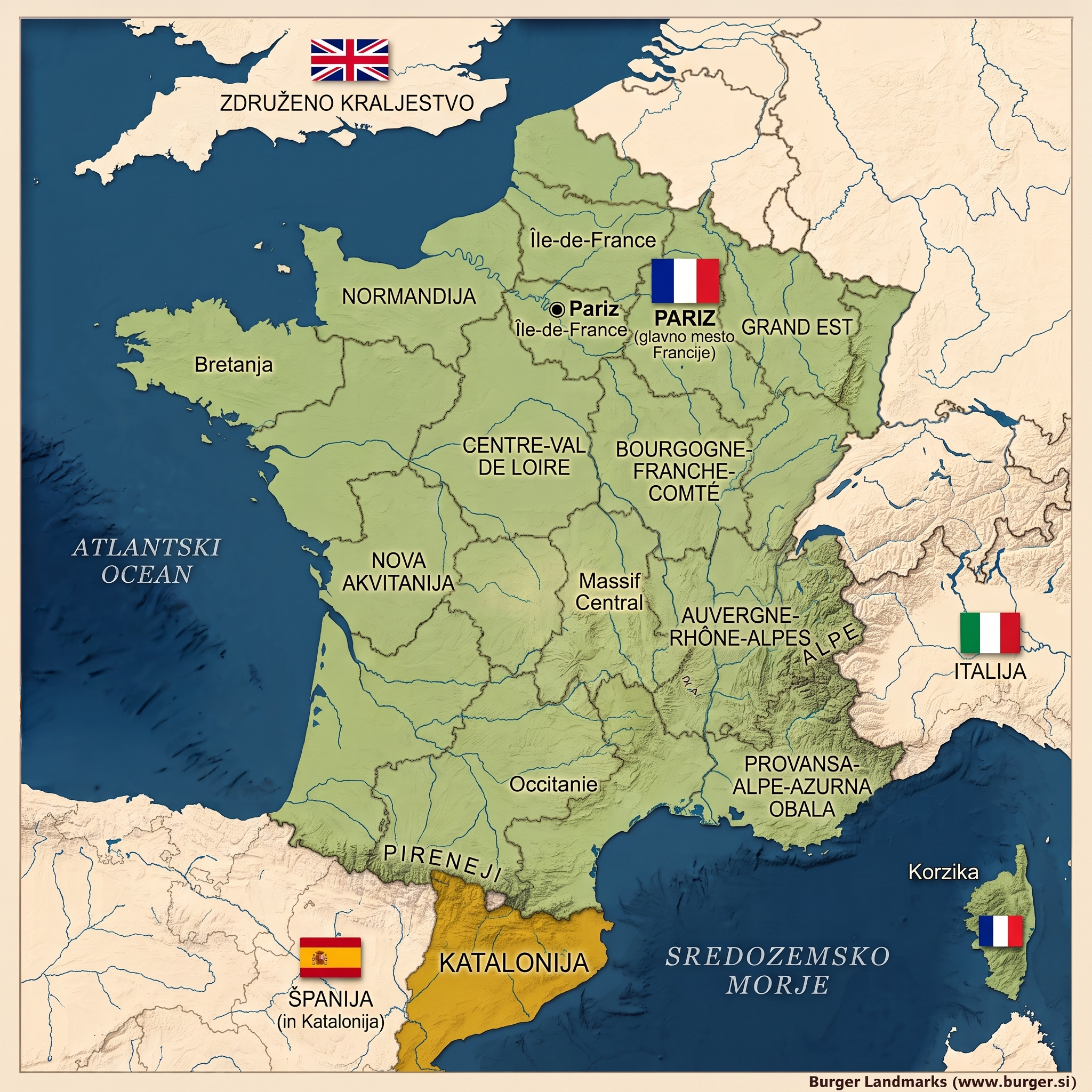
France is both the geographical and cultural core of Western Europe. Its spatial diversity extends far beyond continental borders: from the highest Alpine peaks surrounding the Mont Blanc massif and the vast Atlantic coastlines to the Mediterranean lowlands and river deltas in the south. French territory also reaches far beyond Europe – into the Caribbean, South America, the Indian Ocean, and the Pacific Ocean. Overseas departments and territories such as Guadeloupe, Martinique, French Guiana, Réunion, Mayotte, and numerous smaller islands and archipelagos form a globally dispersed geographic network, placing France among the most expansive transcontinental countries in the world.
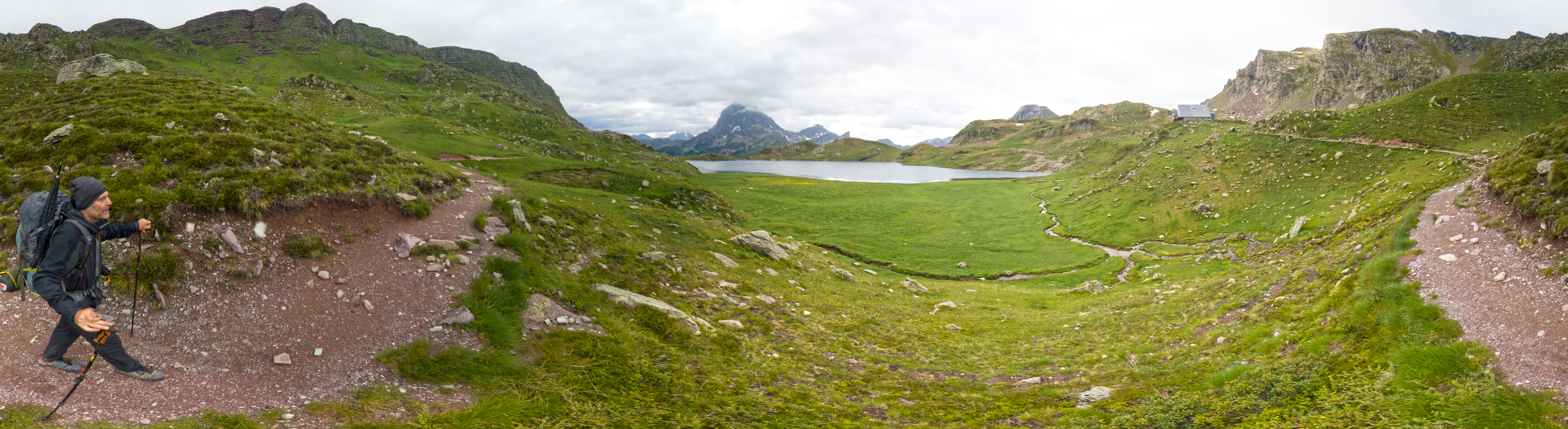
This spatial landscape atlas serves as an entry point to a continuous visual documentation gathered over years of systematic panoramic recording. The project to systematically document French landscapes began in 2000; consequently, the archive includes visual representations that now serve as a valuable temporal footprint of the era in which they were created. Several images depict landscapes that have underwent significant transformation over the last few decades – whether due to urbanization, climate change, or changes in land use – and thus function as an archive of past environments that can no longer be directly observed.
Throughout history, France has forged a complex social structure that unites diverse national, linguistic, and cultural communities under a single French citizenship. Along with the majority French population, regional identities such as Bretons, Basques, Alsatians, Corsicans, Occitans, and numerous communities in overseas territories maintain their own linguistic and cultural traditions. Despite this diversity, they are bound by a shared civic framework grounded in the republican principles of equality, secularism, and common political allegiance.
France is currently one of the most populous countries in Europe, with a population exceeding 67 million. Demographic dynamics are reflected in diverse urban centers – from Paris as a global metropolis to regional towns that shape local identities and spatial patterns. This diversity is also clearly mirrored in the visual archive, which captures both rural landscapes and rapidly changing urban structures.
This rich visual collection offers scholarly research insights, rendering the geographical profiles and architectural characteristics of each region with clarity. Whether you are examining the structural attributes of historical locations or tracking the geomorphological shifts of landscapes, the archive acts as a bridge between the digital humanities and virtual heritage documentation methodologies. The long-term continuity of data collection enables comparisons between historical and contemporary spatial states, opening up additional pathways for analyzing the transformations brought about by natural processes, urbanization, and cultural influences.
author: Boštjan Burger, August 2014