STAGE 8 (Chalets d'Iraty → Logibar, 17 km)
The distance from Chalets d’Iraty to Logibar was 17 km, roughly 5 hours of walking—mostly downhill. I still had plenty of energy, but a glance at the map showed that Logibar was merely a roadside guesthouse in a narrow gorge. Therefore, I decided to walk until I found a suitable spot with a view and pitch my tent there.
At the edge of Iraty lies the Col Bagargiak mountain pass (1327 m), where the road heading east splits into a narrower northern section and a busier southern one. I followed the narrow asphalt road to the north, occasionally passed by motorcyclists—clearly, this panoramic route is popular among bikers, something I had already noticed at the Iraty tourist center. During my rest there, quite a few groups of motorcyclists stopped, interestingly, mostly German groups.
The road wrapped around the southern slopes of Athanolatzegagnia (1530 m) and Pic des Escaliers (1472 m). Initially, I intended to climb over both peaks, but threatening storm clouds began approaching from the east, so I decided to bypass the summits and move closer to Logibar in the east. The surrounding slopes were pastures filled with herds of cows. However, the grassy ground was marshy and heavily fertilized with numerous cow pats, attracting swarms of flies. I had no desire to pitch a tent there, so in the humid air with a potential storm behind me, I accelerated along the narrow, muddy path that followed a nearly level contour line south under Mount Beloscare (1173 m).
The clouds caught up with me but fortunately did not bring a downpour. I came across a flat area which, although scattered with dried cow pats—something unavoidable due to intensive grazing—had dry ground. I set up my tent over a protective nylon groundsheet just as a light drizzle began. Luckily, the drizzle stopped, and the setting sun peeked through the clouds, brightening the evening with warm colors. I prepared a hot dinner, but the sight of ticks crawling on my legs soured the mood. I flicked them off, checked myself thoroughly, and then, feeling a bit unsettled, zipped myself into the inner mesh of the tent. I had obviously stumbled into a tick-infested area—my first 'attack' from them, and fortunately the last, as I didn't find any more in the following days. Still, a bad feeling remained...
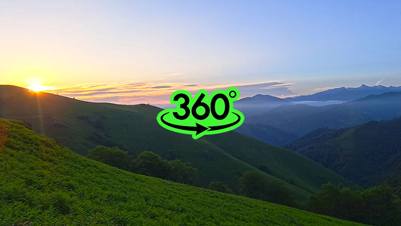
The night was windy with a few rainy spells. I woke up to a sunrise shrouded in mists creeping over the surrounding hills. After a warm breakfast and another check for ticks, I began the descent along the slippery path towards Logibar, arriving two hours later. I intended to replenish my food supplies and water there, but Logibar was a major disappointment. It was just a roadside guesthouse in a narrow gorge. The establishment was closed and not scheduled to open until noon. Since it was only nine in the morning, I wasn't prepared to wait. I couldn't get water, even though I knew a long 25 km Stage 9 awaited me with 1200 m of ascent, where drinking water would be hard to find. Nevertheless, I pushed on, relying on chlorine tablets to disinfect water from streams along the way.