General Information

Location: Southern Europe

Capital: Rome

Population: approx. 58.1 million

Total area: 301,230 km²

  • Land: 294,020 km²

  • Water: 7,210 km²

  • Coastline: 7,600 km

  • Lowest point: Adriatic Sea (0 m)

  • Highest point: Monte Bianco – 4,748 m

  • Italy is about 15× larger than Slovenia.

Physical Geography of Italy

Italy is a Mediterranean peninsula shaped by the towering Alps in the north, the Apennines running along the entire peninsula, and extensive coastlines embracing major Mediterranean islands.

The Alps

Northern Italy is dominated by the Alps, with Monte Bianco (4,748 m) as the highest peak. They form a natural climatic border and serve as the headwaters for major river systems.

The Apennines

This mountain chain stretches along the full length of the peninsula, forming Italy’s geographic backbone and influencing regional microclimates and river valleys.

Volcanoes

Italy is world-renowned for its active tectonic zones and iconic volcanoes, most notably Vesuvius, Mount Etna, and Stromboli.

Rivers and Lakes

The Po is Italy's longest river, flowing across the fertile Po Plain, while the subalpine region is famed for its large glacial lakes including Lake Garda, Como, and Maggiore.

Climate

Climate zones vary from continental in the Po Valley to alpine in the mountains, transitionally shifting to a warm Mediterranean climate along the expansive coastlines.


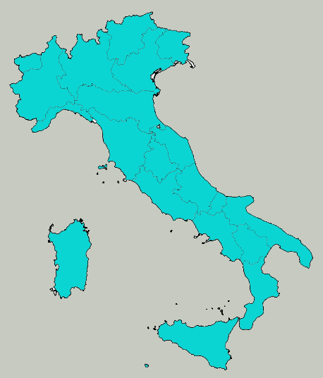
Map of Italy – overview


Natural Landscapes

  • Alps and Dolomites: glaciers, passes, and high peaks
  • Apennine Peninsula: mountain spine of Italy
  • Po Plain: major agricultural and economic heartland

Cultural and Historic Highlights

  • Rome & Vatican: millennia of imperial and cultural heritage
  • Renaissance Centers: Florence, Venice, and Verona
  • Volcanic Heritage: Vesuvius, Pompeii, Etna, and Aeolian Islands