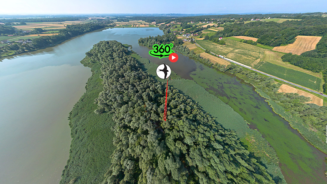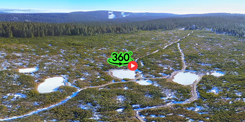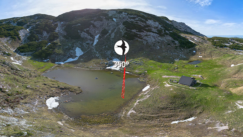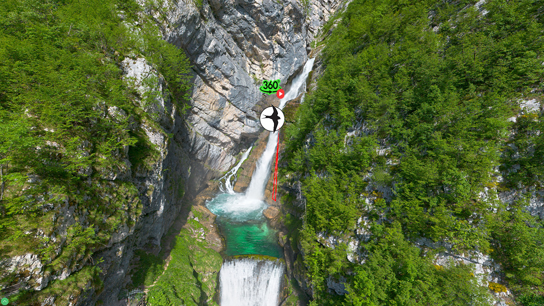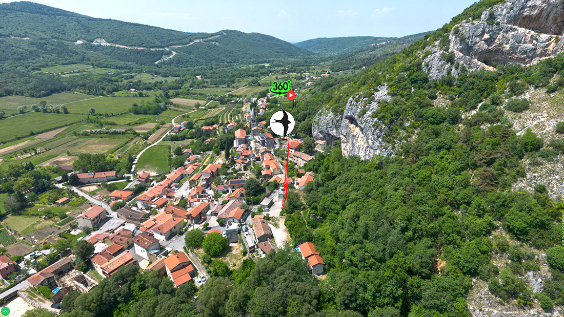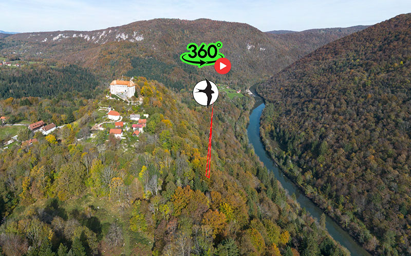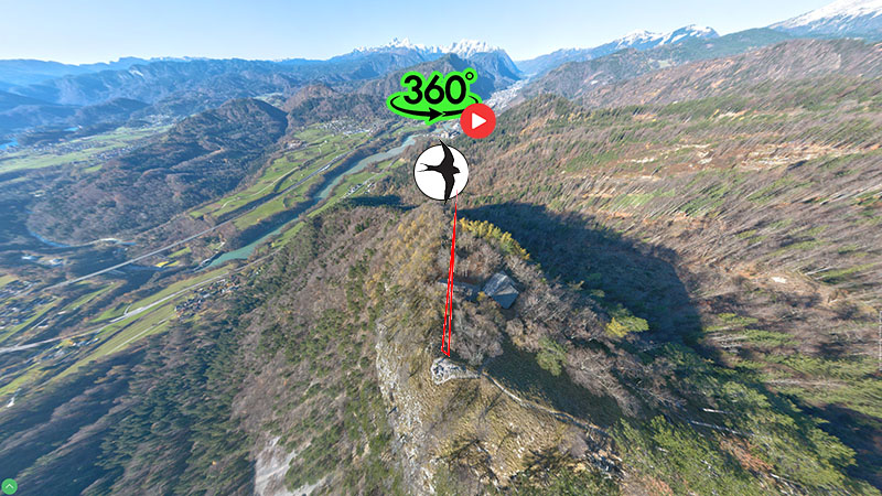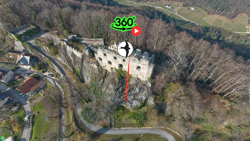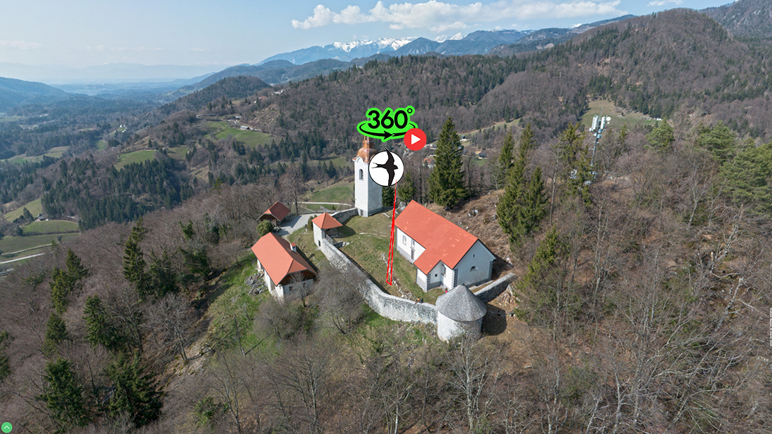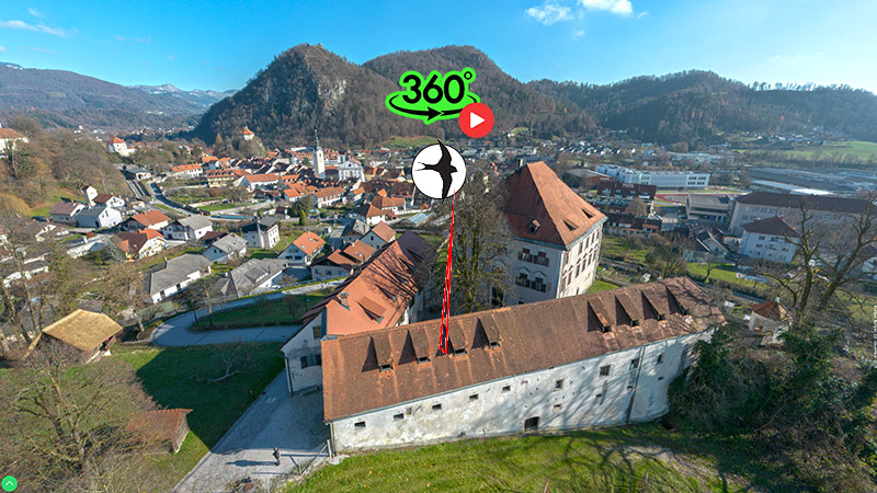

A view from the sky reveals a whole new dimension of understanding space, landscape, and humanity's place within it. Lifting off the ground unveils hidden textures of the Slovenian landscape, the geometry of urban centers, river meanders, and the majestic contours of mountain ridges. A bird's-eye view allows us to grasp the completeness of space—that invisible thread connecting natural heritage, architectural structures, and the geographic diversity of Slovenia into a unified whole.
As a point of interest, the pioneering beginnings of this aerial documentation date back to 1998, when I captured my first 360° aerial panoramas. Technology at the time did not offer modern solutions, making execution a true technical and practical challenge: I flew over the landscape in a helicopter, held a fisheye lens directly against the window, and asked the pilot to slowly turn the aircraft on its axis while I rhythmically pressed the shutter button.
Shortly thereafter, I continued my experimentation using a custom-made L-shaped rig. A camera was securely fastened to the bottom of the rig, and the entire system was mounted underneath a motorized hang glider. These flights offered breathtaking spatial views and laid the foundation for systematic aerial documentation of Slovenia.
Today, I utilize modern drone technology equipped with high-resolution cameras to capture aerial panoramas. Through precise multi-row photography and subsequent stitching, the final 360° panoramas achieve extraordinary detail—many approaching nearly 1 gigapixel (1 Gpix) in resolution. This enables visitors to enjoy not only an immersive overall view, but also to zoom in and explore finer details on the surface.
The primary goal of this project is to connect tens of thousands of locations—which I have documented over decades with ground-based spherical panoramas—from the air, offering the full 360-degree vantage point of birds. This creates a comprehensive, multi-layered spatial archive that merges ground and aerial perspectives into a seamless virtual reality experience.
author: Boštjan Burger